
Meshack Road runs through the Meshack Creek country of eastern Monroe County, Kentucky, not far from the small unincorporated community of Meshack. A vanishing hitchhiker story has been told about the road for years. The tale matches a folklore pattern found across the United States. What has not been found is a newspaper report, a named witness or a dated grave that would turn the story into a record. This post lays out the place, the history that can be documented, and the legend as a legend.
What the record shows
Meshack is a rural unincorporated community in Monroe County, at the intersection of Kentucky Route 100 and Meshack Creek, according to Wikipedia, which cites the U.S. Geological Survey’s Geographic Names Information System. The hamlet sits about eight miles east-northeast of Tompkinsville, the county seat, in the eastern part of the county, not south of town on the Tennessee line. Both Meshack Road and Meshack Creek Road are named local roads in the Tompkinsville postal area. They serve farms and residences along the creek. They are ordinary rural county roads, not a marked tourist route, and no official viewing site is associated with them.
The creek, and by extension the community and the roads, is explained in local historical writing as taking its name from Meshack Skaggs. In an article first published in 1974 in Traces, the journal of the Barren County Genealogical Society, and later reprinted, Marion Vance of Glasgow wrote that Skaggs “was killed along its waters prior to 1795, when the Indian danger still existed.” Vance was reconstructing early settlement from land records; the article does not quote a contemporary account of the death. Many local residents, Vance added, pronounced the name closer to “Maches.”
What became Monroe County was settled later than Kentucky’s Bluegrass. A historical overview of the county, published through Western Kentucky University, lists Meshack Creek, near the eastern border, among the earliest permanent settlements, in place by about 1790, along with Fountain Run, Flippin and Tompkinsville. Vance, working from Green and Cumberland County entry and survey books, described a land rush after 1798, when much of the Meshack area was still open to headright claims. Monroe County itself was formed in 1820 from parts of Barren and Cumberland Counties. The same local histories also preserve a tradition that Moses Kirkpatrick settled in the Meshack area in the late eighteenth century and that a trace later known as Kirkpatrick’s Road ran through the country. Those details are useful for understanding how the roads got there. They are not evidence of a haunting.
The legend
The story told about Meshack Road is a vanishing hitchhiker tale, and in the version that circulates in popular retellings it has a very specific shape. Two young men, driving to a weekend dance sometime around the 1950s, pick up a young woman walking along the road in an old-fashioned party dress. They take her to the dance. Other people there remember a stranger. On the way back it is raining, and one of the men lends her his coat. They leave her at an old house on Meshack Road. Days later, when he returns for the coat, the woman at the door says no such girl lives there, but that she had a daughter who died in an accident on the road. At a nearby churchyard, the coat is found on the grave.
That plot is not unique to Monroe County. Folklorists have collected it, with small changes of place and detail, across the United States. In 1942 and 1943, Richard Beardsley and Rosalie Hankey, writing in the California Folklore Quarterly, described a distinct version in which a girl is met at a dance rather than on the road, borrows a coat, and the coat is later found on her grave. Jan Harold Brunvand’s 1981 book The Vanishing Hitchhiker later made the broader legend familiar to general readers. The Meshack Road telling, as it appears in popular retellings, belongs to that family of stories. It should be read as folklore, not as a documented event.
What the record does not support
No source reviewed for this post names the two men, the young woman or the date of the supposed accident. No newspaper account, courthouse record or marked grave was found that matches the story. The “around 1950” or “the 1950s” timing in the retellings is unsourced. The original short version of this post said the legend appeared in Alan Brown’s Haunted Kentucky (Stackpole Books, 2009). That claim could not be confirmed from a publicly checkable table of contents or preview, so it is not repeated here.
Some popular pages also attach an unseen presence, said to hold onto a rider for about a mile, or they connect the hitchhiker to Meshack Skaggs, who died before 1795. Neither link is supported by the local historical writing cited above, and neither is used here. A death on the early frontier and a mid-twentieth-century dance story are separate things, and combining them does not make either one a record.
Visiting
Meshack Road and Meshack Creek Road are working rural roads. There is no official haunted-road pull-off, no posted hours and no reason to be on anyone’s land. If you drive the public roads, stay on the pavement, watch for farm traffic and narrow shoulders, and do not stop in a way that blocks a driveway or a lane. Do not walk cemeteries or churchyards after hours, and do not go looking for a grave from a story that names no one. After dark the area is unlit, and cell service can be uneven. Leave enough fuel and a charged phone to get back to Tompkinsville.
Nearby, Tompkinsville is the county seat. Old Mulkey Meetinghouse State Historic Site, a Kentucky State Parks property just outside town, preserves an early nineteenth-century log meetinghouse and a pioneer cemetery. It is a documented historic place, not part of the hitchhiker legend, and a better stop than a rural road at night.
Frequently asked questions
What is Meshack Road known for?
A vanishing hitchhiker story is told about the road. The place itself is a real rural community and creek valley in eastern Monroe County, with a documented settlement history.
Is the hitchhiker story true?
No record was found that would confirm it. The plot matches a widespread American urban legend.
Where is Meshack Road?
In eastern Monroe County, Kentucky, in the Meshack Creek area about eight miles east-northeast of Tompkinsville. The community of Meshack is at Kentucky Route 100 and Meshack Creek.
Can visitors see a grave or a haunted house?
No specific house or grave is documented. Stay on public roads and respect private property and churchyards.
More haunted roads: The Paulding Light, Michigan and Bray Road (Elkhorn, WI).
Sources
- Wikipedia: Meshack, Kentucky: location of the community at Kentucky Route 100 and Meshack Creek, citing the Geographic Names Information System.
- Marion Vance, “Early Settlers of Meshack Creek, Blands Fork and Mud Camp Areas,” Traces (1974; later reprinted): local historical account of the creek name and early land records, as republished by KYGenWeb.
- Historical Overview of Monroe County, Kentucky (Western Kentucky University): early settlement along Meshack Creek and the formation of the county.
- Wikipedia: Vanishing hitchhiker: the wider legend, including the Beardsley and Hankey classification of the dance-and-coat-on-the-grave variant and Jan Harold Brunvand’s 1981 study.
- Kentucky Energy and Environment Cabinet: Old Mulkey Meetinghouse State Historic Site: official page for the nearby historic site outside Tompkinsville.
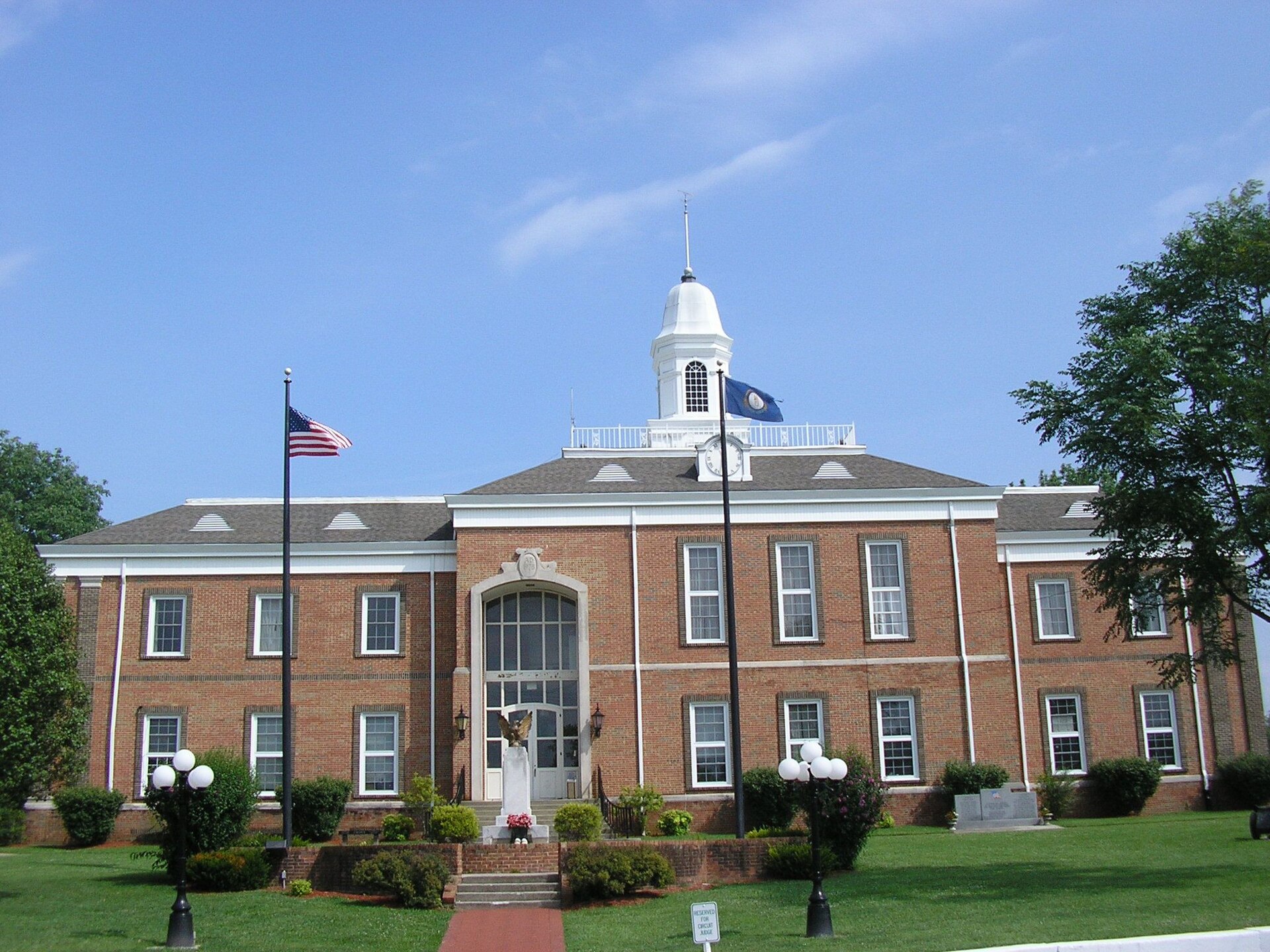
Top image: Monroe County Courthouse, Tompkinsville, Kentucky, W.marsh, CC BY-SA 3.0, via Wikimedia Commons. This is a photo of the county seat, not of Meshack Road.